1982 – 1987
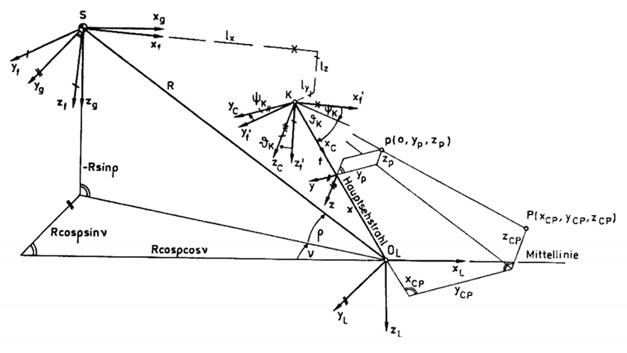
G. Eberl: Derivation of basic modeling for motion in 3 dimensions with homogeneous coordinates (4 x 4 matrices based on quaternions); representation of landing strip as planar rectangle, and of ego-motion.
Edge extraction in the image and estimation of ego-state (3-D trajectory over time) relative to the landing strip. Scene interpretation by feedback of prediction errors: The validity of the approach has been proven for the special case without perturbations by stronger winds and gusts.
1987 – 1992
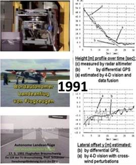
R. Schell: Inclusion of inertial sensors: Measuring perturbations from gusts with almost no delay time redundantly by 4 rate gyros and 4 accelerometers; handling of the different delay times in the optical and the inertial data paths. With this approach the validity of the method was proven also for strong perturbations in the HIL-simulation loop. This has led to DFG-funded fully autonomous test flights with BVV_2 onboard a Do-128 plane of TU-Brunswick at their airport (see left). These were performed till before touch-down; then ‚go-around‘ for the next test was done by the safety pilot [49 to 52]; see result in latter part of
Video 1982-92 Aircraft Landing Approach.mp4
1992 – 1997
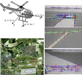
Transputer-system for image feature extraction; recognition of large obstacles on the landing strip during landing approach [53; 54]. S. Werner: Landmark navigation of helicopter close to the ground [55, 56, 57 pdf]; realistic HIL-simulation of the vicinity around the airport Brunswick (several km in extension). Mission with different trajectory elements; for the perception part see [DDInf Zusammenfassung] und Dissertation Werner 1997 [D22 Kurzfassg]
See also: HelicoptersWithSenseOfVision


